Last updated on April 19th, 2025 at 8:15 am
The Annual Keyholder Application/Renewal is now open. Applications will be accepted until Thursday, May 8th, 2025.
Please visit the Mission Keyholder Application Page to submit your application for the coming season.
Quick Overview:
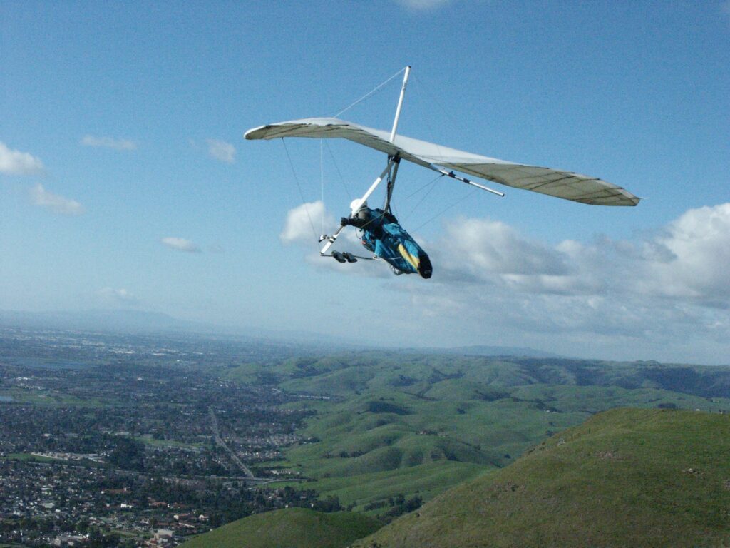
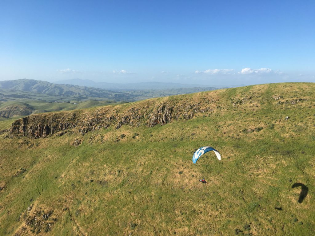
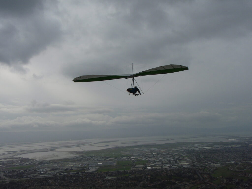
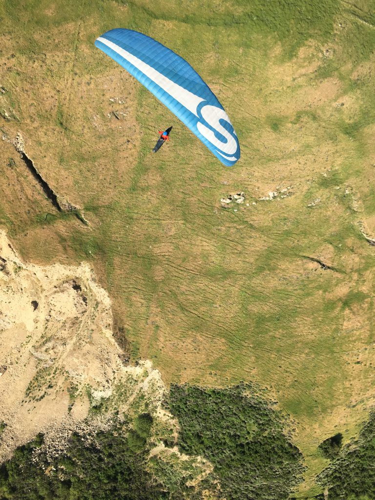
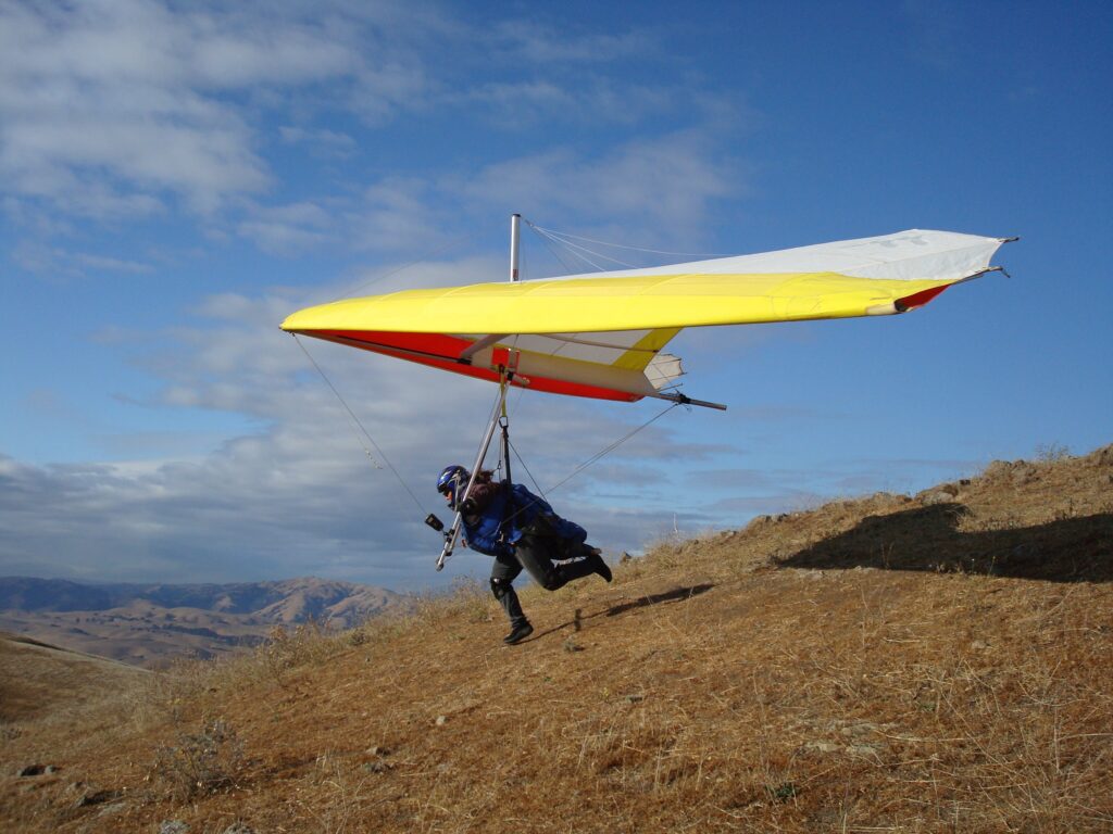
Dave Kilbourne first soared Mission Peak in a standard Rogallo wing on September 6, 1971. Mission Peak was then opened as a Wings of Rogallo site for hang gliding in 1983, and is now usable by Advanced-rated, and Intermediate-rated (with additional provisions) paraglider and hang glider pilots, under a special use agreement with the East Bay Regional Park District.
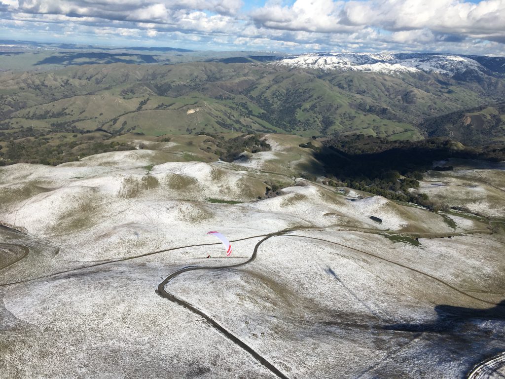
Mission can be flown as a hike-and-fly site, or driven to launch through a restrictive “keyholder” program. The site is located in Fremont, CA, within Mission Peak Regional Preserve, and is typically referred to as Mission or Mission Peak. Parking is available at the Stanford Avenue Staging Area at the end of Stanford Avenue.
Site Committee Chairs: Steve Welch & Bob Posey
Pilot Requirements
To fly at Mission Peak pilots must:
- Be a full or visiting member of the Wings of Rogallo Northern California Hang Gliding Association Inc.
- Be a member of USHPA (full or temporary) for insurance purposes.
- Have an Advanced or Intermediate* USHPA pilot rating or foreign equivalent for the wing type they are flying.
- Have in their possession, an electronic Wings of Rogallo membership card that shows the membership expiry date, pilot rating, and pilot eligibility to fly at Mission
- Be familiar with the Mission site procedures, rules and regulations, and meet all of the requirements.
- Receive a site introduction before flying at Mission.
*Protocol for Intermediate-rated(P3/H3) Pilots
In addition to meeting the requirements outlined in the Site Procedures, Intermediate-rated pilots must meet the following requirements to fly at Mission:
- Pilots must possess basic thermal and mountain flying skills, be proficient in flying in active conditions, and be able to land in restricted areas before being sponsored to fly at Mission.
- Pilots must describe their thermal and mountain flying experience to their sponsor before flying at Mission.
- As a guideline, pilots should have flown a minimum of 4 mountain flights from launches over 2800′ MSL, each over 20 minutes duration in thermal lift per flight, before flying at Mission.
- Pilots must complete at least 3 flights under the supervision of a member of the Mission Peak Site Introduction Team on the same wing type. At least one of those flights must be a sustained flight under thermic conditions (i.e. not during late evening conditions when there is only ridge lift, or when there is no lift).
- The sponsored flight will only count if it is conducted safely and in compliance with the site procedures. It must include a safe controlled launch and landing in the designated landing zone.
- The sponsor has the authority to determine whether the sponsored flight has met the requirements described above.
The sponsor may also decide that only 2 supervised flights are required, if the pilot is exceptionally skilled and experienced, or that more than 3 supervised flights are warranted.
- H3 pilots must have completed their H4 spot landing requirements.
A Site Introduction checklist is available to sponsoring pilots to help ensure a consistent and thorough site introduction.
Intermediate-rated pilots can request an introduction from approved sponsors by:
-
- Joining the Mission site introduction Telegram group
- PG: email [email protected]
- HG: email [email protected]
When requesting sponsorship:
- Pilots are asked to try to request an introduction at least 24h before flying, in order to help sponsors coordinate plans. Last-minute requests are OK, and are at the sponsor’s discretion, but may not be accommodated depending on sponsor availability and capacity.
- Sponsored pilots are expected to be fully prepared with knowledge of the site procedures. Pilots may be asked questions about the procedures and will be expected to demonstrate knowledge for the introduction to be counted towards their sponsored flights.
Mission Peak Site Introduction Team
Intermediate-rated pilots can request an introduction from approved sponsors by:
- Joining the Mission site introduction Telegram group
- PG: emailing [email protected]
- HG: emailing [email protected]
Hang Gliding Sponsors
- James Bowe USHPA #84977
- Paul Clayton USHPA #41958
- Takeo Eda USHPA #93987
- Soham Mehta USHPA #95973
- Abhishek Sethi USHPA #84050
- Richard Sibley USHPA #90580
- Michael Soderstrom USHPA #79621
- Roy Spencer USHPA #45805
- Anthony Tagliaferro USHPA #87955
Paragliding Sponsors
- Dietmar Burkhardt Jr USHPA #57395
- Evan Cohen USHPA #88630
- George Du USHPA #100559
- Daniel Fourie USHPA #97550
- Alexander Honda USHPA #99786
- Dmitrii Khairullin USHPA #105204
- Kenneth Kim USHPA #101746
- Jason Lauritzen USHPA #100281
- Jennifer Lauritzen USHPA #100283
- Jesse Meyer USHPA #83606
- David Oddy USHPA #98729
- Chris Pak USHPA #91895
- Ben Pedersen-Wedlock USHPA #97368
- Enrique Perez Smutny USHPA #102111
- Robert Posey USHPA #84727
- Jacob Rendina USHPA #104365
- Julie Spiegler USHPA #54168
- Michael Vergalla USHPA #92026
- Steven Welch USHPA #91725
- Daniel Zaslavsky USHPA #97516
Guidelines for Visiting pilots
Visiting pilots who meet the proficiency requirements above may fly at Mission Peak free for up to two days per calendar year. In addition to meeting all of the requirements above above, visiting pilots must:
- Sign up for a visiting pilot membership on the website (there is no charge).
- Have in their possession an electronic Wings of Rogallo membership card, that indicates that they are a visiting pilot who is eligible to fly at Mission.
Site Information
Location
The Mission Peak flying site is located within the Mission Peak Regional Preserve and is sometimes referred to by that name or simply referred to as Mission.
The Wings of Rogallo Northern California Hang Gliding Association Inc. (WOR) is licensed by the East Bay Regional Park District (EBRPD) through a revocable Special Use Agreement (SUA) to administer hang gliding and paragliding activities within the Mission Peak Regional Preserve.
The Mission Peak Regional Preserve is located in Fremont, CA. Parking is available at the Stanford Avenue Staging Area at the end of Stanford Avenue.
The lot is small and is frequently full, even on weekdays; carpooling is encouraged. Limited street parking is available on Vineyard Ave. on weekends and holidays. Street parking is allowed on the North side of Stanford Avenue on weekdays. Observe the posted No Parking signs and hours/days of enforcement. Plan to arrive at Mission early in order to account for time to find a parking spot.
Accessing Mission Ridge
Mission Peak Regional Preserve is a multi-use open space preserve. Please respect the rights of other preserve users. The launch area at Mission may be accessed on foot through the front gate entrance at the Stanford Avenue Staging Area.
The launch area at Mission may be accessed by vehicle through a private locked vehicle access gate off of Mill Creek Road. Thanks to successful negotiations between the Wings of Rogallo and the East Bay Regional Park District a limited number of pilots are granted vehicle access to the park. This is managed by allocating a restricted number of keys to WOR pilots each year.
 Launch
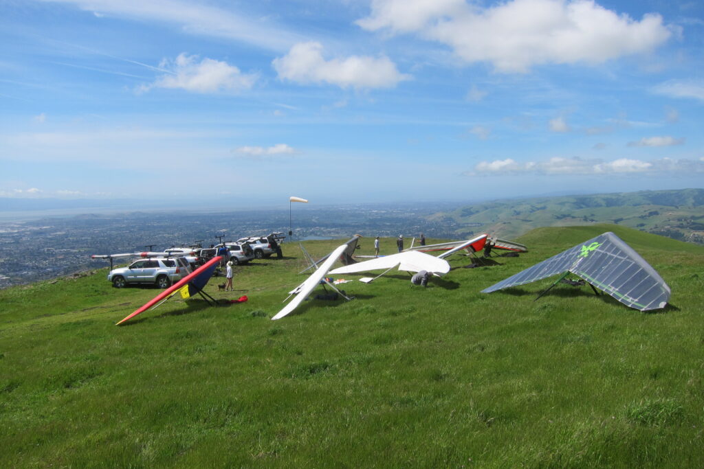
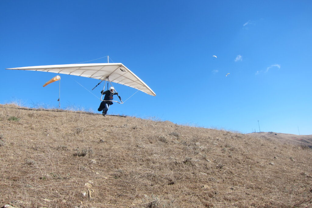
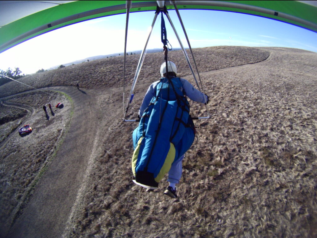
There is one launch for Mission Peak which is gently sloping and grassy, which turns into dried grass early in summer.
Mission is flyable in WSW to NW winds. The ideal direction is W to NW. These wind conditions are present many days from March to mid-September. The typical daily weather pattern for Mission under benign conditions is for light and variable conditions to be present in the morning, thermic conditions to be present mid-day, and for a stable sea breeze to be present by mid to late afternoon, producing a mixture of ridge lift and thermal lift.
When the winds at Mission are from the South, the conditions at Mission can be turbulent and potentially dangerous. Mission will be in the lee of some of the ridges and spines of Mt. Allison. Flying at Mission is not advised under these conditions! On the other hand, flying at Ed Levin can be great under these conditions.
It is a 4:1 glide ratio to Landing Zone 1. Top Landing Zone 2 is at the same altitude as launch.
For Hang glider pilots:
- Minimum wind speed 0 MPH
- Ideal wind speed is 15 MPH
- Maximum wind speed is 25 MPH
For Paraglider pilots:
- Minimum wind speed 0 MPH
- Ideal wind speed is 8 MPH
- Maximum wind speed is 20 MPH (for advanced pilots only who are comfortable with strong winds).
Site intro checklist
All pilots
● Site sensitivity
○ Mission is a very popular park, flying activities are highly visible, our ability to
fly there is dependent upon pilots being safe and following the rules.
● Electronic sign-in
● Key sign-out procedure
● Locking the gate on Mill Creek Road
● Airspace
○ Class B floor is 6000ft.
○ Lots of General Aviation and commercial flights below.
○ Low flying helicopters perform inspections of the park.
● House thermals
○ In front of launch
○ Landslide and landslide ridge
○ Mt. Allison spine
● Cross country etiquette
○ Do not land out anywhere in the vicinity of Mission and Ed Levin except in an
emergency. There are some emergency bailouts between Mission and Ed
Levin, such as the quarry on the weekends when it is vacant.
○ The first big field south of Ed Levin, just south of Calaveras Road, is highly
sensitive and should be avoided if possible. Image below.
● Flying hazards and weather
○ Beware of South winds due to turbulence and a difficult downwind LZ
approach (Southwest can be OK).
○ During the Summer months, there is typically an inversion at Mission
providing limited top of lift, and creating turbulence at the top of the boundary
layer.
● LZ Hazards:
○ Frequent hikers in the vicinity of the LZ
○ Uneven terrain in the LZ which slopes down toward the parking lot past the LZ
○ Obstacles (trees) on the approach end of the LZ
○ LZ is a thermal trigger and dust devils along the trail are common, especially
in summer.
Paragliders
● Launching low in strong winds is OK and encouraged.
● Typical LZ approach
○ Lose altitude to the South (downwind) of the windsock area using S-turns
○ Make final uphill approach to the N / NW, adjusting for the wind direction and
strength
● Top landing approach
○ Gain enough altitude to safely land on the flat area behind the windsock
○ Lose altitude using S-turns behind the windsock area
○ Set up a conservative approach, try not to overshoot. If you overshoot, get
high and try again.
● Packing up
○ Clear the “preferred” LZ area immediately after landing to make room for
other pilots
○ Typical pack up area is between the hiking trails to avoid foxtails and star
thistles.
Hang Gliders
● Hang glider pilots must walk the LZ up to the windsock prior to flying to observe that
the viable landing area extends uphill past the windsock but only to the Northeast of
the windsock. Northwest of the windsock, the terrain is downhill.
● Typical LZ approach (N or NNW wind)
1. Perform S-turns over the trees downwind of the LZ
2. Perform left 360s upwind of LZ, concluding with a downwind-base-final
approach
3. Right 360s upwind of LZ, concluding with a downwind-base-final approach
On final approach, ignore the windsock, and land uphill. If passing the
windsock, go to the right of the windsock, and expect stronger wind farther
uphill.
● South wind LZ approach
1. Perform a downwind-base-final approach over the houses on the North side
of the LZ. The downwind leg is to the North toward the houses at the edge of
the LZ
2. Land uphill into the wind, downwind of the gap in the eucalyptus trees. Don’t
overshoot!
3. If you do overshoot, turn left, land uphill downwind
● Top landing Hang gliders usually land in the flat area to the Southwest of the restrooms, South of the gravel road to launch. There are two suggested top-landing
approaches:
1. Perform S-turns over the outhouse
2. Left 360s upwind of the desired landing spot, concluding with a
downwind-base-final approach.
● Packing up
○ Carry assembled gliders to the gate.
○ Break down near the gate, and carry gliders to cars in the parking lot.
Procedures for Site Introduction Team Members
● Before sponsoring any pilots, shadow at least one introduction by another member of
the Site Introduction Team of the same wing type.
● Brief pilots on all of the topics above.
● Once a pilot has completed their final sponsored flight, contact any web administrator (currently Bob Posey ([email protected]), Evan Cohen ([email protected]) via email or Telegram, and they will enable the pilot’s silver Mission icon on their electronic membership card. Include the pilot’s name and USHPA number in the email.
● If there are any major concerns with any sponsored pilots, please report those concerns to Steve Welch (Mission site chair: [email protected])
Webcam
A webcam is hosted at a local pilot’s house, and it points directly at the Mission Peak launch. It is publicly accessible, and can be viewed at http://missioncam.wingsofrogallo.org.
Weather resources
It’s beyond the scope of this page to provide you with links to all the tools available to help assess the weather at Mission Peak. There are many sources for weather forecasts such as Windy, XCSkies, National Weather Surface Area Forecast Discussion, and NWS Point Forecast to get you started.
For real-time conditions, the Mission Cam is a good place to look. There is also a cam at the top of Ed Levin which is of limited value, but still worth mentioning. Additionally, there’s a wind sensor at the top of Mt. Alison (just south of Mission Peak, but about 600′ higher than launch), weather balloon reading (Skew-T) from Oakland, and a profiler at Ft. Ord.
Radio Comms
The common radio frequency is 147.405 Mhz and should be used for safety and logistics with respect to other pilots and non-pilots as this is a simplex frequency that is available to all ham radio users.
Use the common radio frequency to alert other pilots of any related to a possible accident or imminent EMS situation.
Emergency Reporting
Call (510) 881-1121 to report an emergency or crime in progress inside of Mission Peak Regional Park
Site Committee
Chair: Steve Welch and Bob Posey
The Site Committee is responsible for:
- Ensuring that all pilots who fly at Mission Peak follow the site procedures and abide by the established rules.
- Monitoring and reporting any violations or questionable behavior
- Appointing and removing members of the Site Introduction Team
- Helping out with key distribution and HG rack inspections
