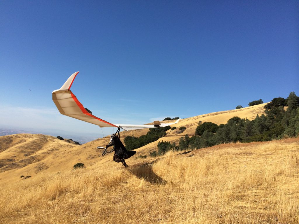
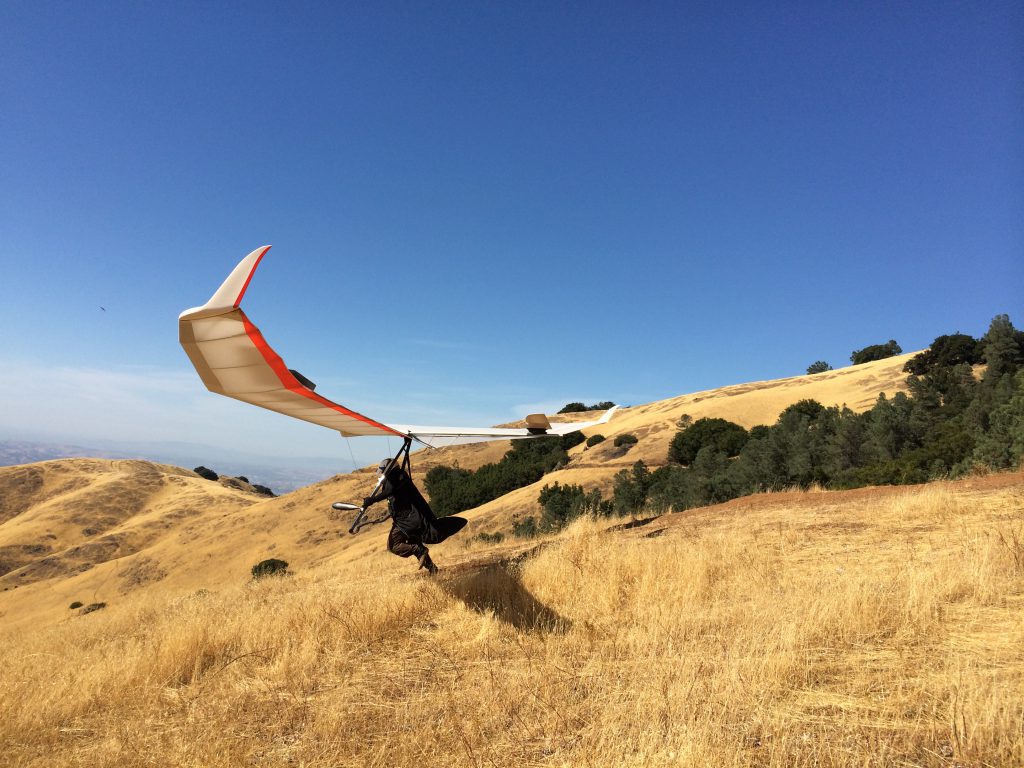
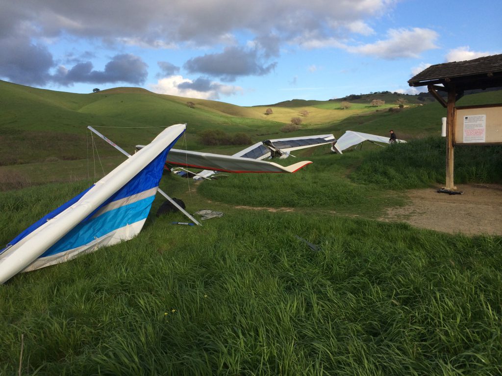
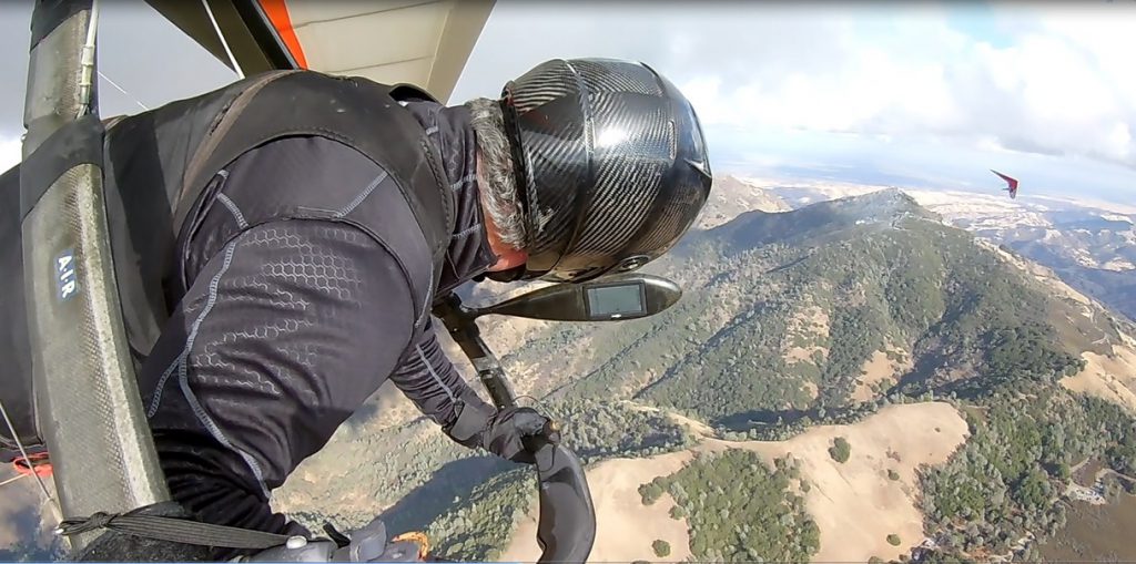
- No Landing at the Athenian School LZ until further notice.
- Morgan Territory LZ is no longer supported by WOR.
- !!! NO LAUNCHING FROM ANYWHERE OTHER THAN JUNIPER, TOWER, SOUTH. LAUNCHING FROM OTHER SITES WILL PUT OUR USE PERMIT AT RISK !!!
Mt. Diablo
Last updated on June 2nd, 2025 at 6:43 pm
Quick Overview:
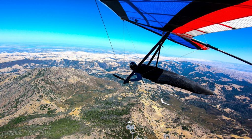
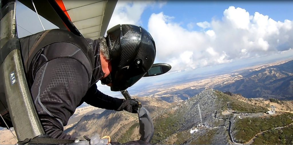
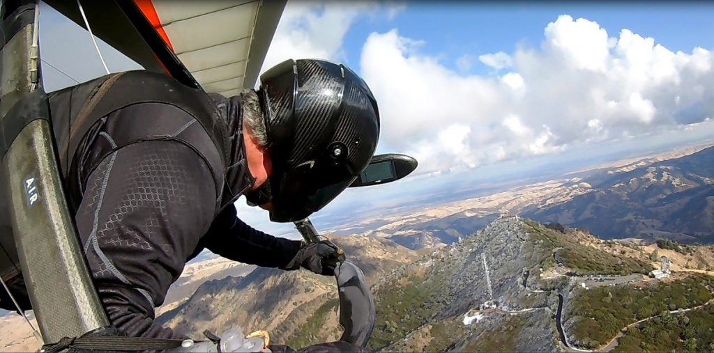
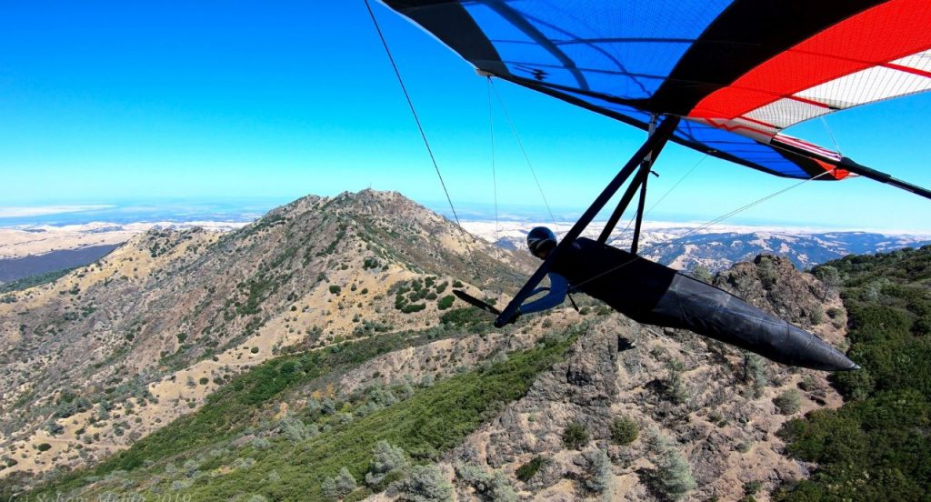
Mount Diablo offers an excellent variety of soaring experiences to the advanced pilot. Pilots regularly soar Diablo’s shear rocky peaks, rolling hills and ridges, gnarly canyons and grassy pastures; sometimes all in the same flight.
As a site open only to USHPA advanced rated Hang Glider and Paraglider pilots, good flying skills and judgement are the keys to rewarding flights at Mount Diablo.
Note: Be certain you are familiar with site rules and meet all requirements before attempting to fly Mt. Diablo.
Site Committee Chairs: Robert Moore & Joe Finkel
Pilot Requirements
To fly at Mt. Diablo, pilots must:
- Be a member of USHPA
- Be a full or visiting member of the Wings of Rogallo Northern California Hang Gliding Association Inc.
- Have an Advanced rating (P4/H4)
- Sign the Mt. Diablo Waiver
- Sign in using this link
- Receive a site intro from an experienced pilot who has previously flown at Mt. Diablo
Introduction
The Wings of Rogallo (or “WOR”) is designated by the State of California Department of Parks and Recreation through a special use permit to administer paragliding and hang gliding activities within Mt. Diablo State Park (herein referred to as “Mt. Diablo”). The purpose of these procedures is to describe the site characteristics to pilots, and to inform pilots of their responsibilities while flying at Mt. Diablo.
Site Overview
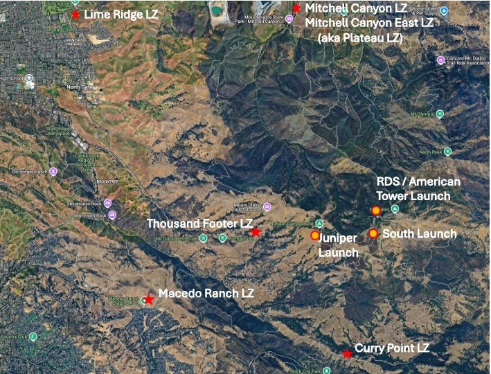
Mt. Diablo is an ideal site for advanced-rated pilots to paraglide and hang glide. It is a complex site with multiple launches at different altitudes and in different directions, as well as several designated landing zones. The launch areas are accessible by hiking trails and by vehicles. Best flights at Mt. Diablo usually happen in the Spring, but easy soaring and long XC flights have happened at all times of the year. Late morning launches are common for XC, but all-day flights happen and evenings are usually calmer.
Mt. Diablo is a highly technical site, with strong thermic conditions and changeable wind directions. For this reason, this guide alone is not sufficient information for first time flight and all pilots are required to have an introduction before flying. Ridges near the summit produce rotor risks on high-wind days. Crosswind may not always be evident on the ground and is a particular risk at the Tower Launch. Pilots are advised to check condition stability forecasts and walk to nearby ridges to confirm wind directions before take off. Pilots should move away from launch and look for thermals rather than ridge-soaring.
Mt. Diablo is a great site for XC flights into the Central Valley. Airspace issues, especially near Concord to the north and in a number of towns farther south, are complex and pilots should research and/or have airspace warnings active while flying.
Within and near the park, Mt. Diablo has a number of good LZs (listed below). Many open areas to the southwest allow safe landings when flying xc.
Site Information
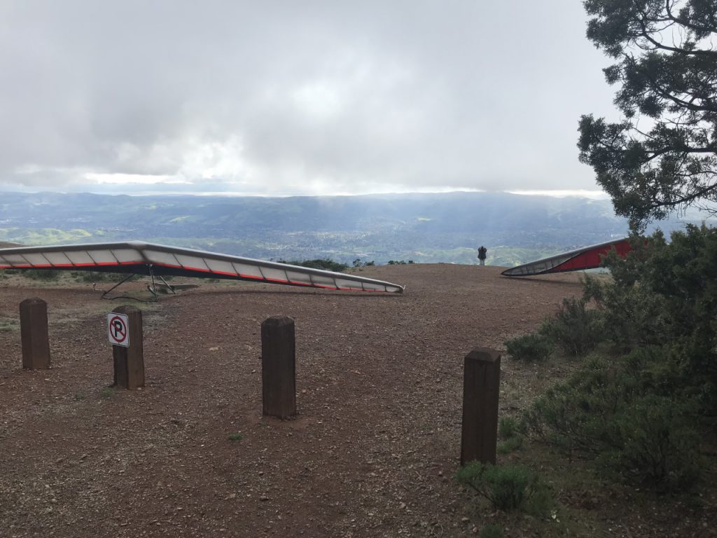
Juniper Launch
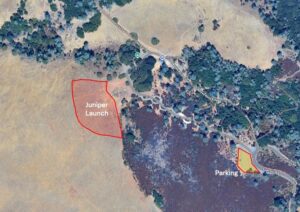
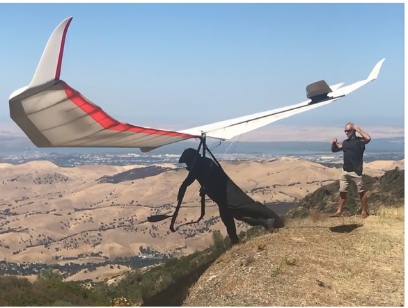
“Juniper Launch” is a large, grassy, gently sloping ridge facing West-Southwest. The launch altitude is approximately 2850ft MSL. This site should only be used in West to Southwest wind conditions, or in very weak Northeast conditions when local lee-side thermals are strong enough to completely block the prevailing wind. The “1000 foot” landing area is straight out from launch. There are camping facilities adjacent to this launch site. Pilots may unload their gear from vehicles adjacent to the launch area, but should park in the large parking lot at the entrance to Juniper Campground away from the campsites. Pilots must not park in the campground, since parking spaces are reserved for campers with reservations.
This launch area is large enough to safely top-land under certain conditions. Pilots are permitted to do so when the launch area is clear of pilots and spectators.
Glide Ratio Required to LZ
Thousand Footer LZ 4.1:1
Paraglider Recommended Winds
Best wind direction: W, SW
Minimum: 0mph Ideal: 7mph Max: 20mph
Hang Glider Recommended Winds
Best wind direction: W, SW
Minimum: 0mph Ideal: 15mph Max: 25mph
Tower Launch
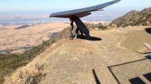
Glide Ratio Required to LZ
Mitchell Canyon LZ 6:1
Paraglider Recommended Winds
Best wind direction: NW, N, NE
Minimum: 3mph Ideal: 5mph Max: 10mph
Hang Glider Recommended Winds
Best wind direction: NW, N, NE
Minimum: 3mph Ideal: 7mph Max: 10mph
South Launch
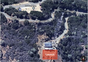
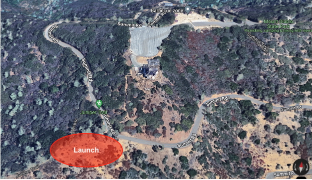
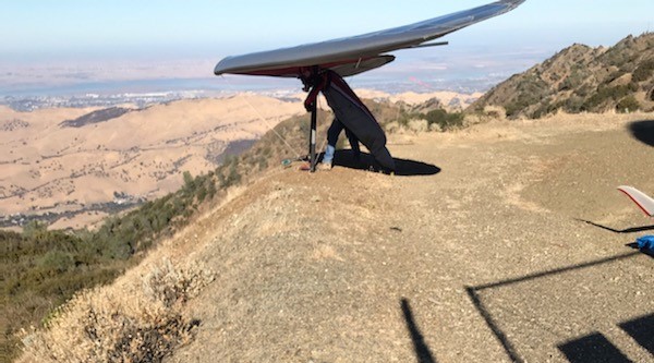
This launch faces south-southeast directly off the graded pad of a former communications tower site, adjacent to the Juniper Trail and Summit Road.
The launch is at 3,600’ MSL. Curry Point landing zone is 1,800 MSL and the Thousand is 1,000’. This launch affords plenty of room for set up and launching with no significant obstructions.
The primary landing areas for this launch are Curry Point and the Thousand-Footer. Access to this launch is from the Juniper Trail. No parking or off-loading is permitted along Summit Road. Vehicular parking must occur at the Lower Summit Parking Lot.
Glide Ratio Required to LZ
Curry Point LZ 5.6:1
Thousand Foot LZ 4.9:1
Paraglider Recommended Winds
Best wind direction: S, SE, ESE
Minimum: 3mph Ideal: 5mph Max: 10mph
Hang Glider Recommended Winds
Best wind direction: S, SE, ESE
Minimum: 3mph Ideal: 7mph Max: 10mph
Closed Launches
The former Navy Tower West and Navy Tower South launches are now both closed to all pilots.
Landing Zones
Mt. Diablo has several landing zones – five within the park, and one just outside. There are other possible safe landing options outside of the park boundaries.
The primary landing zones are 1000 Footer and Mitchell Canyon.
—-
Thousand Footer LZ
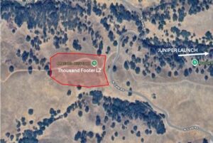
The Thousand Footer LZ is located adjacent to Burma Fire Road Trail. Its elevation is 1000ft MSL, and it is located near the 1000ft elevation point on Northgate Road. As you are driving up Northgate Road, you will see a 1000’ elevation sign and a trail head on the right side of the road. There is a gate and fire road which is used to access the landing zone (LZ) at the rear of the LZ, and a few oak trees at the far northern end of the area. It is advisable to check the landing conditions prior to heading up to launch and mount a windsock or other directional device toward the middle of the landing zone. Please be aware that turbulence is known to occur (even in very light breezes). Any wind indicators placed in the LZ must be removed the same day.
Mitchell Canyon
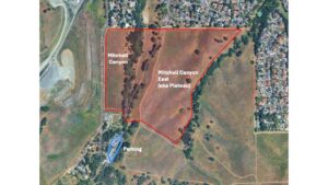
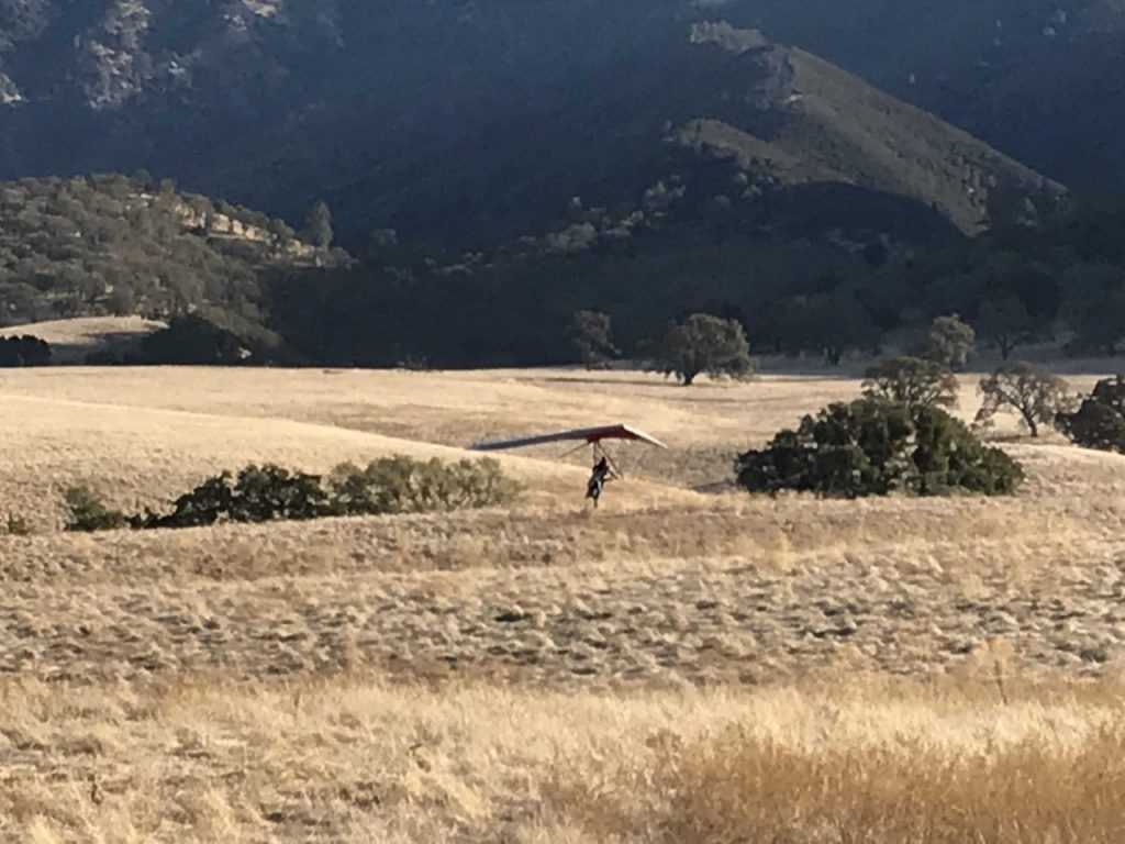
Located at the end of Mitchell Canyon Road in Clayton, at the entrance of the park. this is the largest designated LZ at Mount Diablo, with few obstacles. There is a residential powerline opposite the road along the western edge of the field, and a relatively low tree line along the eastern edge. This is an easy landing site but remember it’s a 6:1 glide ratio from the Tower launch site. All wind flagging will be removed after each flight.
Mitchell Canyon East (aka Plateau)
The landing area is the eastern side of the Mitchell Canyon LZ, and is bounded on two sides by Mitchell Creek and the northern boundary of the Park in Clayton. The field can be accessed through the footpath entrance to the Park on Mount Tamalpais Drive. The field slopes gently uphill in the westerly direction, and undulates somewhat in the north-south direction. Typically, this LZ is selected over the Mitchell Canyon field if westerly wind has developed at the lower altitudes after launching from the Tower. Turbulence from the Mt. Zion quarry can be avoided by circling down over the Park lands further to the east of Mitchell Canyon, then making a final approach in the smoother air over the LZ. Mitchell Canyon East has a 6:1 glide ratio from the Tower Launch.
OTHER LZs
Curry Point
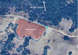
Is located approximately one mile down the South Gate Road from the midpoint Junction Ranger Station near the Curry Point Parking Area. The site is an uphill landing zone favorable in southeast to southwest winds. This is a possible landing zone for the South Launch. There are no significant obstacles at this LZ, but pilots should be aware that this landing zone can be turbulent in northwest/north wind conditions. In addition, helicopters may use the landing pad near the landing area on rare occasions. If any helicopters are noticed in the area, use another landing area if possible.
Macedo Ranch
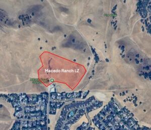
The landing area is east of the Macedo Ranch Staging Area parking lot, and well above the adjoining access path. This is an uphill landing zone 2,100’ vertical from Juniper Ridge launch. It is a 6.3 to 1 glide and 700’ MSL. Vehicles access from Green Valley Road that crosses Stone Valley Road in Danville. Day Use Fees are collected.
Lime Ridge (aka Blake’s)
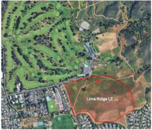
Lime Ridge is just south of the Boundary Oak Golf Course, at the end of Valley Vista Rd. This landing area is outside the responsibility of the State Parks. WOR has a special agreement with the City of Walnut Creek. State Parks assumes no liability for the use or misuse of this site. This landing zone is an alternative to the Thousand-Footer when south-to-west winds are stronger, making the Thousand-Footer a difficult landing site. This hillside LZ has no significant obstacles, and is well removed from the access path. Public parking spots are on Valley Vista Rd.
Closed LZs
Athenian School – Landing not allowed
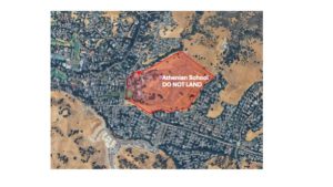
Athenian School. Former LZ. Use forbidden by owner. DoNotLand !!
The Athenian School is on the south side of the park and sometimes used as a rendezvous site by pilots. It was formerly used as an LZ but is now closed!! Do not land here.
Morgan Territory – Landing not allowed
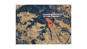
Morgan Territory former LZ, no longer supported. DoNotLand !!
The Morgan Territory site is to the south-west of Diablo peak. It was a former LZ but is now closed!! Due to very limited use in past years WOR has decided to discontinue insurance coverage for this site, and it should now be considered equivalent to all other (off-limits) areas of the greater Diablo Peak park. Do not land here.
| LZ altitude in feet MSL | Best Wind Direction |
| Mitchell Canyon & Mitchell Canyon East 700 | N,NW,SW |
| Thousand Footer 1000 | SW,W |
| Macedo Ranch 700 | NW,W,N |
| Curry Point 1800 | SW,S |
| Lime Ridge 400 | SW, W |
Weather Information/ Best Soaring Conditions
Depending on the combinations of launch, LZ and weather conditions, Mt. Diablo can offer simple or challenging flights. Consult an experienced Diablo pilot for details on soaring conditions.
Radio Comms
The common radio frequency is 147.405 Mhz and should be used for safety and logistics with respect to other pilots and non-pilots as this is a simplex frequency that is available to all ham radio users.
Use the common radio frequency to alert other pilots of any related to a possible accident or imminent EMS situation.
Visiting Pilots
Flying Mt. Diablo as a visiting pilot requires you have an advanced rating (H4/P4 or IPPI-4 or above), you must be a current USHPA member, and you must get a site introduction from a member of the Site Committee so you can sign the waiver, sign in, and given a comprehensive introduction. Please contact the Site Committee Chair for additional information.
Site Committee – HG
| Name | USHPA Number |
| Robert Moore (chair) | 59355 |
| Paul Clayton | 41958 |
| Dave Clement | 1049 |
| Kevin Dutt | 26381 |
| Clark Frentzen | 15924 |
| Pete Koistinen | 34062 |
| Soham Mehta | 95973 |
| Mike Soderstrom | 79621 |
Site Committee – PG
| Name | USHPA Number |
| Anna Behrens | 101928 |
| Josh Cohn | 53890 |
| Evan Cohen | 88630 |
| Kevin Dutt | 26381 |
| Dan Fourie | 97550 |
| Tristan Horn | 98744 |
| Pam Kinnaird | 101090 |
| Ben Pedersen-Wedlock | 97368 |
| Dan Zaslavsky | 97516 |
Flying Requirements
Insurance and memberships
All pilots flying at Mission under WOR’s Special Use Agreement must also be members of USHPA, in order to have appropriate 3rd party liability insurance.
Visiting pilots
Visiting pilots should sign up for a free visiting pilot WOR membership, which allows flying at Mission for a limited number of days per calendar year. Additional details are provided in the club’s bylaws and on the club’s website. Foreign pilots must also obtain a 10-day temporary USHPA membership, which can be issued by any USHPA instructor or tandem pilot. Foreign pilots must follow the pilot proficiency requirements for the USHPA rating level that is equivalent to that of their foreign license.
Signing in
Every pilot flying at Mt. Diablo must sign in before flying using the online link above.
Tandem flights
Tandem flights are prohibited at Mt. Diablo.
Park hours
Flying activity at Mt. Diablo is permitted from 8am to one hour before sunset.
Safety
Pilots must
- Wear a helmet when flying.
- Fly with a reserve parachute.
- Adhere to all Federal Air Regulations (FARs).
- Land in the designated landing zones when landing within the park boundaries, unless top landing, or in case of an emergency.
- Comply with all terms and conditions indicated in these site procedures, as well as with any additional terms and conditions formally communicated by WOR officers.
Pilots must not
- Launch anywhere outside of the designated launch areas
- Smoke anywhere in the park.
- Use or be under the influence of drugs or alcohol anywhere in the park.
- Accompany pets in the launch and landing areas.
- Perform acrobatic maneuvers (for example: infinite tumble, SAT, helicopter, loops, barrel rolls) at an altitude which does not allow for a safe reserve deployment.
- Fly at high speed close to terrain (“proximity flying”).
Pilots should
- Fly with a radio and phone
Vehicle Operations
- Vehicles may only park in the designated parking areas.
- All drivers must hold a valid driver’s license and all vehicles must carry appropriate insurance.
- Day-use fees apply.
- Pilots must identify themselves as they pass through the entrance gates.
- Parking in the Juniper campground is reserved for registered campers. The Rangers will cite all other vehicles parked in the campground. Park in the open area near the main road and not in the campground.
- Vehicles may not be left in the park overnight. If a flight takes the pilot out of the park, it is the pilot’s responsibility to remove their vehicle before the park closes. If the pilot cannot make it back to the park, the rangers must be notified to prevent ticketing of the vehicle.
Emergency Procedures
- In case of an emergency, for fire, ambulance, police, or ranger dispatch, call Northern Dispatch for State Parks at (916) 358-0333
- 911 will also work, but may take longer.
The emergency 2m radio frequency is: 147.495 MHz.
Pilot Proficiency Requirements
Mt. Diablo is highly technical site. Pilots need to have experience with active thermal flying, complex wind, shear, and rotar knowledge, and experience flying near and avoiding airspace restrictions. Pilots must possess an Advanced (P4 or H4) or higher USHPA rating, and visiting pilots with a foreign rating equivalent to a P4 or H4 may fly at Mt. Diablo within the parameters described in these Site Procedures.
Mini wings
Mini wings and speed wings are not currently permitted at Mt. Diablo.
Pilot Identification
Pilots must carry a copy of their WOR membership card (either electronic or a physical copy) which shows their current USHPA rating.
Instruction
Instruction is prohibited at Mt. Diablo.
Violations
Mt. Diablo Site Committee members and WOR club officers may issue warnings or suspensions to pilots who violate any site procedures or jeopardize the flying site. All disciplinary action that is taken by Site Committee members must be reported to the Mt. Diablo Site Chairperson as soon as possible. The Mt. Diablo Site Chairperson must then report the disciplinary action to the Executive Board as soon as possible. Additional disciplinary action, or a dismissal of the original disciplinary action, may be taken by the Executive Board upon further review of the incident.
Any pilot who witnesses a violation of any of these site procedures should report the incident to a Mt. Diablo Site Committee member as soon as possible. Serious violations of park ordinances, bylaws, or laws, should also be reported to a park ranger.
Site Committee
The Mt. Diablo Site Committee is in charge of ensuring safe flight operations at Mt. Diablo. A list of current Site Committee members and contact information is posted above.
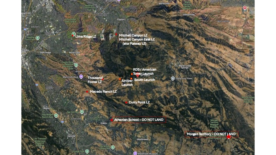
Photos from Mt. Diablo
Documents
- Email the site chairs for any additional site information.
